
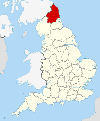
The county of Northumberland is the northernmost county of England. It borders Scotland to the north, Cumbria to the west, Durham and Tyne and Wear to the south, and the North Sea to the east. The 64-mile long stretch of coastline has been designated an Area of Outstanding Natural Beauty.
Off the coast lies the famous island of Lindisfarne, or Holy Island, which is the place to which Christianity is believed to have come to England.
The area was once part of the Roman Empire and as Northumberland it was the scene of many wars between England and Scotland. As evidence of its violent history, Northumberland has more castles than any other county in England, including the castles of Alnwick, Bamburgh, Dunstanburgh, Newcastle and Warkworth.
The county is characterised by being low and flat near the coast, rising through rolling hills to the mountainous scenery of the Cheviot Hills toward the north west. Northumberland is the least populated county in England, with a population density of only 62 persons per square kilometer.
The rugged and varied landscape combines with the rural nature and the rich history to give the county a unique atmosphere, something which once experienced is seldom forgotten.
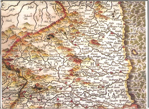
Gerard's 1595 Map of Northumberland (Reproduced by courtesy of 'The Northumbrian' magazine)